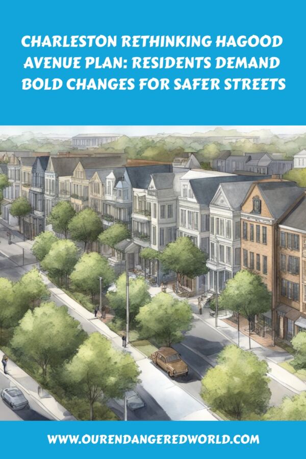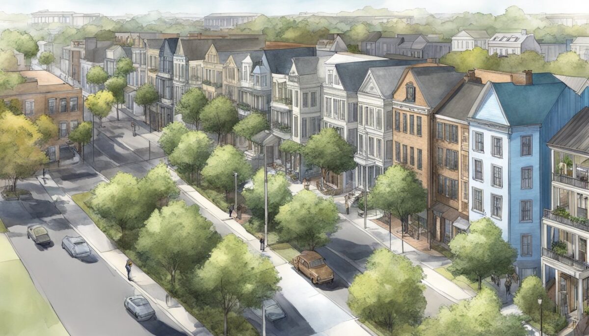
The Hagood Avenue Improvement Plan is Charleston’s attempt to solve several connected problems at once: chronic flooding, deteriorated pavement, safer walking and biking access, reliable travel to the medical district, and coordination with the future Lowcountry Rapid Transit terminus near Line Street. The city is still evaluating potential designs; the records reviewed do not show that construction has started, and no final street cross-section or Hagood Avenue construction date has been published.
Last verified: August 7, 2026.
Hagood Avenue plan: the 2026 status at a glance
- The project remains in planning. Charleston’s June 25, 2026, Community Development Committee minutes record a presentation by Thomas & Hutton outlining several potential plans, not approval of a final design.
- The leading concepts are broader than road repair. A secondary summary of the June presentation describes road raising, drainage upgrades, and bicycle and pedestrian improvements, but those details should be treated as concepts until the city publishes an adopted design.
- A $25 million funding path is on the table. Charleston County’s published project list identifies an estimated $25 million for the Hagood Avenue drainage and mobility improvement plan. The available list is labeled draft, and the money is tied to a countywide sales-tax program scheduled for a November 3, 2026, referendum. It is not secured construction funding today.
- Transit makes the corridor more important. Lowcountry Rapid Transit design is complete, construction is anticipated to begin in 2027, and the Line Street–Hagood Avenue station is planned as the southern end of the route.
- Flooding is only one constraint. The city must also account for weak ground, the former landfill, Gadsden Creek, water quality, utilities, emergency access, and the needs of residents, students, patients, workers, drivers, cyclists, and pedestrians.
- No credible timeline ends at “raise the road.” A buildable project still needs final engineering, drainage modeling, environmental review, permits, right-of-way and utility coordination, funding agreements, procurement, and a construction-phasing plan.

Why Hagood Avenue needs more than repaving
Hagood Avenue is a short but strategically important link on the west side of the Charleston peninsula. It connects the area around The Citadel with the Charleston Medical District and runs beside Gadsden Green, WestEdge, and Gadsden Creek. City officials described the road in 2023 as subsiding, uneven, and vulnerable to stormwater, ponding, and tidal flooding. They also noted that existing drainage investments had improved some conditions without solving the corridor’s full problem.
That combination changes the engineering question. A conventional mill-and-overlay treatment may smooth the pavement temporarily, but it cannot correct unstable subgrade, chronic inundation, missing pedestrian connections, transit demands, or drainage that interacts with high tides. The city therefore framed the Hagood Avenue Improvement Plan as a coordinated resilience and mobility effort involving Charleston, MUSC, The Citadel, WestEdge, and the Charleston Housing Authority.
Flooding comes from several directions
Water can reach the corridor through heavy rainfall, inadequate surface drainage, high tides, or a combination of those conditions. Raising a low roadway may reduce the frequency or depth of water over the travel lanes, but elevation alone does not remove the water. The final system must collect, convey, store, or discharge stormwater without shifting flood risk toward Gadsden Green, nearby buildings, or adjacent streets.
Charleston already has major drainage infrastructure nearby. The city’s Spring/Fishburne drainage system uses deep tunnels, shafts, pumps, and surface collection improvements to protect the Crosstown and access to major hospitals. The Medical District tunnel extension at Ehrhardt Street reached substantial completion in March 2024. Hagood Avenue planning must show how new inlets, pipes, tunnels, pumps, or outfalls would connect with that broader network and perform during high-tide rain events.
The road sits in a complicated environmental setting
Parts of the surrounding area were historically marsh and were later used as a landfill. That history matters because settlement, buried waste, eroded cover material, tidal water, and contaminated runoff can complicate excavation and long-term maintenance. It also means that road construction, drainage work, and the separate Gadsden Creek stormwater proposal cannot be evaluated as isolated projects.
The corridor serves people who do not all travel the same way
Students and workers interviewed when the plan launched in 2023 described flooding that made the route unusable and a street environment that felt unsafe for walking and cycling. Those accounts do not establish a complete crash record, but they identify a practical access problem: a corridor linking housing, higher education, health care, parking, transit, and employment cannot function reliably if people must choose between standing water, broken pavement, missing sidewalks, and fast-moving vehicles.
What the 2026 Hagood Avenue concept could include
The official June 25, 2026, committee minutes are brief. They confirm that Rick Karkowski of Thomas & Hutton presented “a series of potential plans” to update and improve Hagood Avenue. A separate meeting summary describes road raising, drainage upgrades, and bicycle and pedestrian enhancements. Because the city has not published an adopted plan in the materials reviewed for this update, each element below should be read as a proposal or design question—not a final commitment.
| Potential element | Problem it could address | What still needs to be confirmed |
|---|---|---|
| Raise sections of Hagood Avenue | Frequent roadway flooding, deteriorated pavement, and low elevation | Finished elevations, tie-ins to side streets and driveways, accessible grades, subsurface conditions, and whether the design transfers water elsewhere |
| Upgrade surface drainage | Rainfall ponding and limited conveyance during high tides | Pipe and inlet capacity, tunnel or outfall connections, pump requirements, backflow protection, maintenance access, and modeled performance |
| Add safer bicycle facilities | Exposure to vehicle traffic and gaps in the bike network | Facility type, physical separation, intersection treatment, continuity, drainage at the bike-lane edge, and conflicts with buses or parking |
| Build or widen sidewalks and crossings | Incomplete pedestrian access to housing, schools, medical facilities, and transit | ADA-compliant widths and slopes, shade, lighting, refuge areas, detectable warnings, and safe crossings at major intersections |
| Coordinate with LCRT | Access to the planned Line Street–Hagood Avenue end-of-line station | Bus circulation, charging infrastructure, station access, curb management, transfers, park-and-ride operations, and construction sequencing |
| Improve the public realm | A harsh, fragmented corridor with limited comfort or visual cohesion | Tree species, soil volume, utility conflicts, lighting, storm-resistant landscaping, maintenance responsibility, and protection of sight lines |
The strongest version of this plan would integrate these elements rather than treat them as competing add-ons. For example, a protected bikeway that repeatedly disappears at intersections would not create a safe route. A raised road without an adequate drainage outlet could move flooding to a lower property. New street trees without sufficient soil or salt tolerance could fail quickly. Transit facilities designed separately from sidewalks and crossings could leave the final approach to the station unsafe.
Lowcountry Rapid Transit changes the design standard
Hagood Avenue is not being redesigned only for today’s traffic. The official Lowcountry Rapid Transit project is a 21.3-mile bus rapid transit system with completed design work and an anticipated 2027 construction start. Its planned Line Street–Hagood Avenue stop is the southern end of the corridor, with one station for charging and ending service and another for boarding the return trip north.
That creates operational requirements that a normal streetscape project might not face. Buses need predictable turning paths, pavement capable of repeated heavy loads, reliable drainage around platforms, accessible boarding routes, safe crossings, clear wayfinding, and enough curb space to prevent conflicts among transit vehicles, shuttles, private cars, deliveries, bicycles, and pedestrians. The road project must also be phased so that LCRT construction and Hagood Avenue work do not repeatedly rebuild or close the same space.
Transit-oriented development is another consideration. The station is expected to serve Gadsden Green, WestEdge, nearby employers, and surrounding communities. Better transit access can reduce dependence on parking, but only when the path from homes and workplaces to the station is continuous, comfortable, and usable by people with disabilities. Sidewalk gaps or unsafe crossings would weaken the value of the transit investment.
Gadsden Creek remains a separate—but connected—issue
Hagood Avenue planning overlaps geographically with the long-running dispute over Gadsden Creek and the WestEdge stormwater project. The issues are related, but they are not interchangeable. The road plan concerns the corridor’s elevation, drainage, mobility, and public realm. The creek case concerned a state permit associated with filling tidal wetlands and implementing a broader stormwater and landfill-management proposal.
In October 2024, the South Carolina Supreme Court affirmed the permit. The court described an unusually difficult combination of a former landfill, a polluted urban creek, stormwater runoff, and tidal flooding, while also acknowledging the functioning saltmarsh and the community’s history with the site. The opinion expressly limited its holding to the unusual facts of the case.
That ruling resolved the permit appeal; it did not end public disagreement about the creek. Environmental groups and volunteers continued cleanup and protection efforts in 2026. Meanwhile, WestEdge’s published concept calls for capping exposed landfill material, stopping tidal inflow, and constructing separate drainage tunnels serving the Hagood–Fishburne area and Gadsden Green. Any Hagood Avenue design should clearly show where its scope begins and ends, which drainage components depend on the WestEdge project, and what happens if the projects advance on different schedules.
Funding status: the proposed $25 million is not yet available
Charleston County’s published 2026 transportation project list assigns an estimated $25 million to the “Hagood Avenue drainage and mobility improvement plan.” That figure is useful for understanding the project’s intended scale, but it should not be read as an awarded contract or a complete final budget.
The currently available project-list PDF is labeled “draft.” Charleston County’s July 21 release confirms that the overall program and ballot language received final approval, but the release does not itemize every project. Unless the county publishes a superseding list, the $25 million figure is best treated as the county’s current published estimate for Hagood Avenue rather than a guaranteed allocation.
County Council approved the transportation sales-tax ordinance on July 21, 2026, sending the measure to voters on November 3. The broader program is projected to generate about $4.25 billion over 25 years if approved. Even after a successful referendum, individual projects still move through design, environmental review, interagency agreements, cost updates, procurement, and construction authorization. Cost escalation or a broader scope could also change the amount ultimately required for Hagood Avenue.
The practical distinction is simple: the referendum could create a major local funding source, but it would not make the corridor shovel-ready on election night. Residents should look for a subsequent project agreement that identifies the lead agency, exact limits, matching funds, eligible expenses, delivery method, schedule, and responsibility for overruns.
Hagood Avenue project timeline
| Date | Confirmed milestone | What it means |
|---|---|---|
| October 2023 | Charleston City Council discussed a coordinated planning effort involving the city, MUSC, The Citadel, WestEdge, and the Charleston Housing Authority. | The project began as a multi-stakeholder resilience and mobility study, not a simple paving job. |
| December 2023 | City officials publicly described research into flooding, road levels, environmental conditions, water quality, transit, and pedestrian access. | Early six-to-nine-month and two-to-three-year expectations were preliminary and should no longer be treated as the current schedule. |
| 2025 | City committees reviewed a proposed $198,725 Thomas & Hutton professional-services contract for consulting, planning, environmental analysis, and design. Action was deferred, and the item remained marked deferred in July. | The record shows continued planning and scope clarification rather than construction authorization. |
| June 25, 2026 | Thomas & Hutton presented a series of potential Hagood Avenue plans to the Community Development Committee. | The project reached a more visible concept stage, but the minutes do not record adoption of a final alternative. |
| July 21, 2026 | Charleston County Council approved final ballot language for the 2026 transportation sales-tax referendum. | The funding program advanced to voters, not directly to construction. |
| November 3, 2026 | Scheduled countywide referendum. | Voter approval would establish the proposed funding program; rejection would require a different funding strategy. |
| 2027 | LCRT construction is anticipated to begin, subject to the transit project’s federal funding and delivery schedule. | Hagood Avenue planning must coordinate with transit work, but this is not a confirmed Hagood Avenue construction start date. |
What a credible final design should prove
A polished rendering can show a more attractive boulevard, but the decisive evidence will be technical and measurable. Before the city selects a final alternative, the public should be able to see how each design performs against the following criteria:
- Flood performance: modeled flood depths, closure duration, drainage capacity, and recovery time for rainfall, tidal, and combined events.
- No transfer of harm: evidence that road elevation and new conveyance will not worsen flooding or contaminated-water exposure in Gadsden Green or on adjacent properties.
- Reliable medical access: routes for patients, workers, emergency vehicles, and transit during both construction and severe weather.
- Continuous safe mobility: sidewalks, crossings, bicycle facilities, lighting, and station access that remain usable through intersections and driveway conflicts.
- Ground and material safety: geotechnical findings, landfill-management procedures, worker protections, disposal plans, and long-term settlement monitoring.
- Water-quality safeguards: baseline testing, construction controls, post-project monitoring, and a clear response plan if contaminants are mobilized.
- Transit compatibility: geometry, pavement, drainage, power, loading, and pedestrian circulation that meet LCRT operating needs.
- Maintainable infrastructure: realistic responsibility and funding for pumps, inlets, landscaping, lighting, pavement, and other assets after construction.
Publishing these measures would improve accountability and make public feedback more useful. Residents could compare alternatives based on performance and tradeoffs rather than reacting only to appearance, lane count, or a single construction estimate.
What residents should watch next
- A public concept package: corridor limits, typical street sections, intersection plans, elevations, drainage diagrams, and plain-language cost estimates.
- The referendum outcome: the November 3 vote will determine whether the proposed county funding program proceeds.
- Project governance: which agency leads design and construction and how Charleston, Charleston County, SCDOT, LCRT, MUSC, The Citadel, WestEdge, and the Housing Authority divide responsibilities.
- Environmental documentation: geotechnical testing, water-quality data, landfill protocols, wetland impacts, and permit dependencies.
- Construction sequencing: how access will be maintained and how Hagood Avenue work will be coordinated with LCRT and nearby development.
- A revised budget and schedule: the $25 million estimate needs to be reconciled with the selected scope, inflation, utilities, contingencies, and long-term maintenance.
The most useful public question is not simply, “When will the road be fixed?” It is, “Which problems will the selected design solve, how will performance be measured, and who is accountable if the projects or funding sources do not advance together?”
Frequently asked questions
What is the Hagood Avenue Improvement Plan?
It is Charleston’s multi-agency effort to address flooding, roadway condition, pedestrian and bicycle safety, transit access, and the public realm along Hagood Avenue. The project is still in planning and does not yet have an adopted final design.
Why does Hagood Avenue flood?
The corridor is low-lying and affected by rainfall, limited surface drainage, high tides, and the environmental history of the surrounding former marsh and landfill. Flooding can occur even when local rainfall is limited if tidal conditions restrict drainage.
Has construction on Hagood Avenue started?
No. As of August 7, 2026, the city has presented potential plans, but the reviewed public records do not show an adopted final alternative or a confirmed Hagood Avenue construction start date.
Is $25 million approved for the Hagood Avenue project?
Charleston County’s transportation project list identifies an estimated $25 million for the Hagood Avenue drainage and mobility plan. The funding is tied to a countywide transportation sales-tax referendum scheduled for November 3, 2026, so it is not secured construction funding yet.
How does Lowcountry Rapid Transit affect Hagood Avenue?
The planned Line Street–Hagood Avenue station will be the southern end of the LCRT route. The street design therefore needs to support bus operations, accessible station approaches, safe crossings, bicycle connections, curb activity, and construction coordination.
Is the Hagood Avenue plan the same as the Gadsden Creek project?
No. They are separate projects with overlapping drainage, environmental, and geographic issues. The Hagood plan focuses on the street corridor; the Gadsden Creek and WestEdge work concerns wetland permitting, landfill management, and a broader stormwater proposal.
The bottom line
Charleston’s Hagood Avenue plan has advanced from an early study to a more defined resilience and mobility concept, but it is not yet a construction project. The city has acknowledged the corridor’s linked problems—flooding, unstable ground, unsafe access, environmental constraints, and future transit demand—and presented potential solutions. The next decisive steps are publication of a final concept, transparent performance data, a dependable funding agreement, and coordination with LCRT and the surrounding stormwater work.
Until those pieces are in place, the most accurate description is “promising but unresolved.” The proposal could create a safer and more reliable western gateway to the peninsula, but its value will depend on whether the final design protects nearby communities, performs under real flood conditions, and remains usable for every mode of travel—not simply whether the finished street looks better.